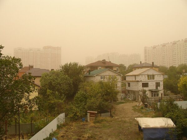

An unusually large, late-season cloud of Saharan dust swept across the Caribbean over the weekend and reached South Florida, bringing hazy skies and drier weather at a time of year when such plumes typically begin to fade.
The dusty layer, described as roughly half the size of the continental United States, covered much of the Caribbean on Saturday before light concentrations began filtering into the southern tip of Florida. Saharan dust regularly lifts off North Africa and crosses the Atlantic, but the phenomenon is most common from mid-June through mid-August.
“These plumes are still coming off Africa in September, but they’re smaller and they usually don’t reach a place like Miami,” Jason Dunion, a research meteorologist at the University of Miami who monitors Saharan dust, told The New York Times.
The heaviest concentrations remained over the Caribbean, while South Florida received only a glancing blow. Light dust reached the region Saturday morning and was expected to linger through the weekend. “It looks like it will stick around through the weekend and then starts to dissipate early next week,” said Chris Fischer, a meteorologist with the National Weather Service office in Miami.
Interesting: Massive 3,000-mile plume of dust and toxic minerals set to engulf US coast within DAYS | Daily Mail Online https://t.co/eZ2EGvqKYa
— Climate Realists🌞 (@ClimateRealists) September 13, 2026
By Sunday, forecasters said the layer of dry, dusty air was helping reduce rain chances across South Florida heading into the beginning of the week.
Saharan dust is a regular feature of Atlantic weather. Strong winds lift fine particles from the desert floor and can carry them as high as a mile into the atmosphere, where upper-level winds may transport the material toward Europe, the Middle East or the Americas. The particles can produce milky skies and vivid sunsets, worsen air quality when they mix closer to the ground and suppress showers and thunderstorms by creating a dry, stable layer in the atmosphere.
“The clouds bubble up into the dry air and collapse,” Mr. Dunion said.
That dry air can also interfere with tropical development, making conditions less favorable for hurricanes to form over the Atlantic.
The plume was already affecting the Caribbean before reaching Florida. On Friday, the National Weather Service office in Puerto Rico warned of reduced visibility and worsening air quality as dust spread across the island.
“The sky is not the ‘blue, blue’ that we normally see,” Maria Novoa-Garcia, a meteorologist with the Weather Service in Carolina, Puerto Rico, said on Friday. “It’s more of a pale blue, grayish sky.”
Dust levels in Puerto Rico normally peak in June and July, making the strength of the September plume particularly unusual. “This is very atypical for September,” Ms. Novoa-Garcia said. “Right now we are going through drought conditions. We’re not seeing the precipitation that we usually do.”
Puerto Rico recorded concentrations Saturday that meteorologists said were more typical of midsummer. Conditions began improving Sunday as the dust weakened and some showers returned. Cuba also began reporting effects Saturday, with the haze expected to linger there into the middle of the week.
NOAA satellite imagery showed the expansive dusty layer stretching across the tropical Atlantic and Caribbean. Most of the dust reaching Florida remained high in the atmosphere, limiting health effects for the general population while still producing the characteristic haze. People with respiratory conditions are generally advised to monitor air quality during stronger dust events.
[READ MORE: Major University Sees Professor Lose Her Mind]